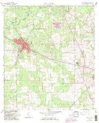
1962 Map of High Springs
USGS Topo · Published 1993About this map
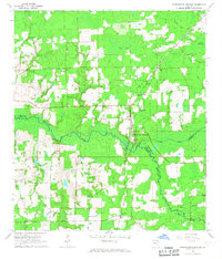
The Santa Fe River defines the northern landscape of this Alachua and Columbia County border region, featuring geological curiosities like the Suck Hole and the River Rise State Preserve. The railroad hub of High Springs serves as the primary municipal center, where the Seaboard Coast Line tracks converge near the heart of town. This 1960s-era geography, updated with late-century urban extensions, shows a transition from the agricultural outskirts of Alachua and Buda to the concentrated industrial and community sites including a Fish Hatchery and several quarries. Local genealogy is anchored by rural landmarks such as Spring Hill Ch, Mt Moriah Ch, and the Asberry Cem. The presence of numerous named springs, including Columbia Spring and Hornsby Spring, underscores the hydrological character of the Florida karst plain before modern suburban expansion fully altered the rural road network.
Find a feature on this map
43 named features on this map. Tap any name to fly to it.
Don’t see what you’re looking for? This feature index may not catch every label — zoom into the map to look around manually.
Map Details
Editions of this 1962 High Springs Map
5 editions found
Other maps of this area

1890 · Arredondo
USGS Topo · 1:62,500

1892 · Arredondo
USGS Topo · 1:62,500

1894 · Arredondo
USGS Topo · 1:62,500

1954 · Gainesville
USGS Topo · 1:250,000

1958 · Gainesville
USGS Topo · 1:250,000

1959 · Gainesville
USGS Topo · 1:250,000

1962 · High Springs
USGS Topo · 1:24,000

1962 · Mikesville
USGS Topo · 1:24,000
1966 · Worthington Springs
USGS Topo · 1:24,000

1966 · Gainesville West
USGS Topo · 1:24,000