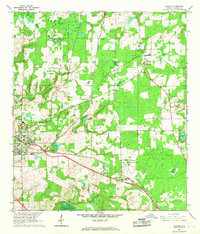
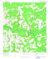
1966 Map of Alachua
USGS Topo · Published 1967About this map
The railroad junction at Alachua serves as the focal point for this mid-1960s agricultural landscape, where the Seaboard Coast Line and Atlantic Coast Line intersect. This area of Alachua County is defined by its transition from organized citrus and field crops to the low-lying wetlands of Sanchez Prairie and Burnetts Lake. The survey details the presence of the University of Florida Agricultural Experimental Farm, illustrating the region's importance to Florida's land-grant research history.
Find a feature on this map
29 named features on this map. Tap any name to fly to it.
Don’t see what you’re looking for? This feature index may not catch every label — zoom into the map to look around manually.
Map Details
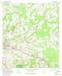
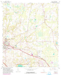
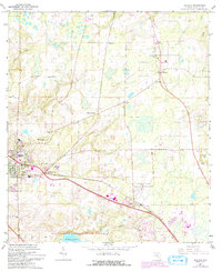
Editions of this 1966 Alachua Map
4 editions found
Other maps of this area

1890 · Arredondo
USGS Topo · 1:62,500

1892 · Arredondo
USGS Topo · 1:62,500

1894 · Arredondo
USGS Topo · 1:62,500

1954 · Gainesville
USGS Topo · 1:250,000

1958 · Gainesville
USGS Topo · 1:250,000

1959 · Gainesville
USGS Topo · 1:250,000

1962 · High Springs
USGS Topo · 1:24,000

1962 · Mikesville
USGS Topo · 1:24,000
1966 · Worthington Springs
USGS Topo · 1:24,000

1966 · Gainesville West
USGS Topo · 1:24,000