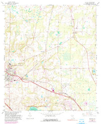
1966 Map of Alachua
USGS Topo · Published 1990About this map
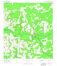
Agricultural research and rural settlement patterns define this portion of north-central Florida during the mid-1960s. The town of Alachua serves as a primary hub, while the presence of the University of Florida Agricultural Experimental Farm near Hague underscores the region's long-standing connection to academic land-use study. The landscape is dotted with small communities like La Crosse and Hainesworth, many of which grew alongside the Seaboard Coast Line Railroad and the now-abandoned paths of an Old Railroad Grade. To the south, the San Felasco Hammock State Preserve and the marshy expanses of Sanchez Prairie provide a glimpse into the preserved natural environment before significant modern development. Genealogists will find substantial value in the numerous country churches and burial grounds, including the Newnansville Cem and Antioch Cem, which mark the sites of early territorial-era settlements.
Find a feature on this map
35 named features on this map. Tap any name to fly to it.
Don’t see what you’re looking for? This feature index may not catch every label — zoom into the map to look around manually.
Map Details
Editions of this 1966 Alachua Map
4 editions found
Other maps of this area

1890 · Arredondo
USGS Topo · 1:62,500

1892 · Arredondo
USGS Topo · 1:62,500

1894 · Arredondo
USGS Topo · 1:62,500

1954 · Gainesville
USGS Topo · 1:250,000

1958 · Gainesville
USGS Topo · 1:250,000

1959 · Gainesville
USGS Topo · 1:250,000

1962 · High Springs
USGS Topo · 1:24,000

1962 · Mikesville
USGS Topo · 1:24,000
1966 · Worthington Springs
USGS Topo · 1:24,000

1966 · Gainesville West
USGS Topo · 1:24,000