Loading...
Loading map...2022 Map of Newburg
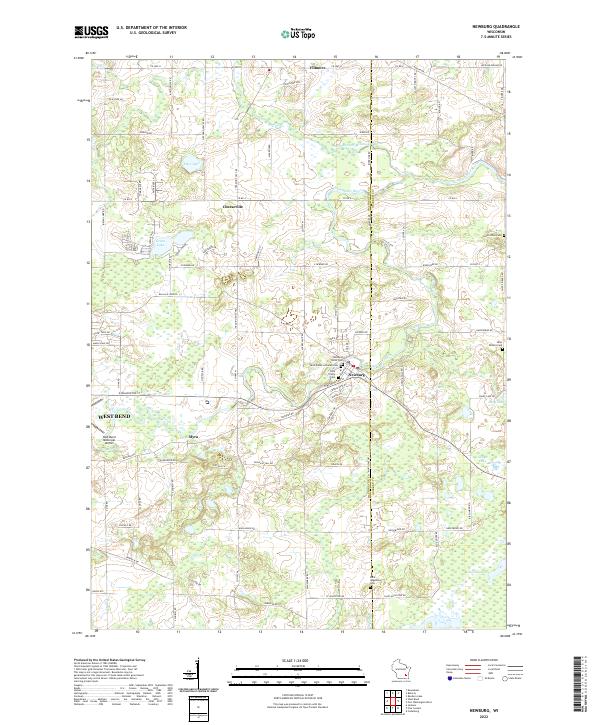
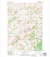
USGS Topo · Published 2022About this map
The Milwaukee River and its North Branch anchor this portion of Washington and Ozaukee Counties. The village of Newburg serves as a central hub, flanked by several long-standing burial grounds including Newburg Union Cem and Holy Trinity Cem. The landscape transitions from the residential streets of West Bend and its West Bend Municipal Airport in the west to the significant wetlands of the Cedarburg Bog in the southeast.
Find a feature on this map
91 named features on this map. Tap any name to fly to it.
Don’t see what you’re looking for? This feature index may not catch every label — zoom into the map to look around manually.
Map Details
Date Portrayed2022
Date Published2022
PublisherU.S. Geological Survey
Map TypeTopographic
Scale1:24000
Physical Dimensions24 x 29 inches
Editions of this 2022 Newburg Map
This is the sole edition of this map. No revisions or reprints were ever made.
Historical Maps of Fredonia Through Time
Featured Locations
Source Details
SourceU.S. Geological Survey
CopyrightPublic Domain