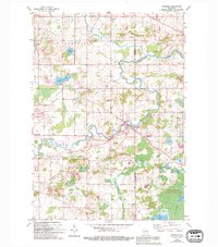
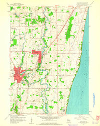
1959 Map of Newburg
USGS Topo · Published 1994About this map
The Milwaukee River meanders through the heart of this Washington and Ozaukee County landscape, anchored by the settlement of Newburg. The map reveals a post-war rural environment defined by small hamlets like Cheeseville, Fillmore, and Myra, and the transition to recreational and conservation land use. To the south, the sprawling Cedarburg Bog State Natural Area dominates the terrain, featuring Long Lake and Mud Lake within its glacial wetland complex. Local genealogy is well-supported by several country parishes and burial grounds, including St Johns Cem, St Peters Ch, and St Finbars Ch near Saukville. The map also captures the local aviation and leisure infrastructure of the late 1950s, showing the West Bend Airport and a Trailer Park situated near the shores of Green Lake.
Find a feature on this map
32 named features on this map. Tap any name to fly to it.
Don’t see what you’re looking for? This feature index may not catch every label — zoom into the map to look around manually.
Map Details
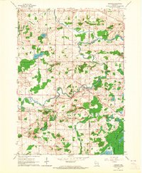
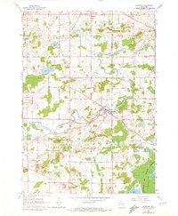
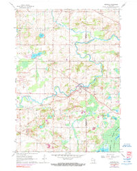
Editions of this 1959 Newburg Map
4 editions found
Other maps of this area

1892 · Port Washington
USGS Topo · 1:62,500

1904 · West Bend
USGS Topo · 1:62,500

1904 · Port Washington
USGS Topo · 1:62,500

1954 · Sheboygan Falls
USGS Topo · 1:62,500

1954 · Milwaukee
USGS Topo · 1:250,000

1955 · Kewaskum
USGS Topo · 1:62,500

1957 · Madison
USGS Topo · 1:250,000

1958 · Milwaukee
USGS Topo · 1:250,000

1959 · Port Washington West
USGS Topo · 1:24,000
1959 · Cedarburg
USGS Topo · 1:24,000