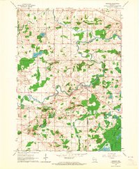
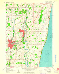
1959 Map of Newburg
USGS Topo · Published 1964About this map
The Milwaukee River and its North Branch wind through this landscape at the boundary of Washington and Ozaukee counties, anchoring several small crossroads settlements. Small village centers like Newburg, Fillmore, and Myra are captured in their mid-century state, showing a network of rural roads connecting scattered farmsteads and gravel pits. The presence of multiple parish sites, including St Peters Ch, St Finbars Ch, and St Augustine Ch with their associated cemeteries, provides significant detail for local genealogists and historians studying the religious foundations of these townships.
Find a feature on this map
29 named features on this map. Tap any name to fly to it.
Don’t see what you’re looking for? This feature index may not catch every label — zoom into the map to look around manually.
Map Details
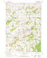
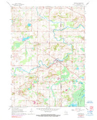
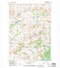
Editions of this 1959 Newburg Map
4 editions found
Other maps of this area

1892 · Port Washington
USGS Topo · 1:62,500

1904 · West Bend
USGS Topo · 1:62,500

1904 · Port Washington
USGS Topo · 1:62,500

1954 · Sheboygan Falls
USGS Topo · 1:62,500

1954 · Milwaukee
USGS Topo · 1:250,000

1955 · Kewaskum
USGS Topo · 1:62,500

1957 · Madison
USGS Topo · 1:250,000

1958 · Milwaukee
USGS Topo · 1:250,000

1959 · Port Washington West
USGS Topo · 1:24,000
1959 · Cedarburg
USGS Topo · 1:24,000