
1959 Map of Port Washington West
USGS Topo · Published 1960About this map
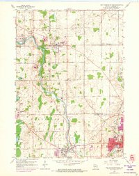
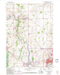
The Milwaukee River meanders southward through the heart of Ozaukee County, anchoring a mid-century landscape of small agricultural hamlets and growing industrial centers. In Waubeka, the river forms a tight oxbow near the Waubeka Union Cem, while downstream at Saukville, the town layout is defined by the crossing of the Chicago Milwaukee St Paul and Pacific railroad. The eastern portion of the map is dominated by the grid of Port Washington, showing residential expansion along Melin Ave and Oakland Ave.
Find a feature on this map
46 named features on this map. Tap any name to fly to it.
Don’t see what you’re looking for? This feature index may not catch every label — zoom into the map to look around manually.
Map Details
Editions of this 1959 Port Washington West Map
3 editions found
Other maps of this area

1892 · Port Washington
USGS Topo · 1:62,500

1904 · West Bend
USGS Topo · 1:62,500

1904 · Port Washington
USGS Topo · 1:62,500

1954 · Sheboygan Falls
USGS Topo · 1:62,500

1954 · Milwaukee
USGS Topo · 1:250,000

1955 · Kewaskum
USGS Topo · 1:62,500

1957 · Madison
USGS Topo · 1:250,000

1958 · Milwaukee
USGS Topo · 1:250,000
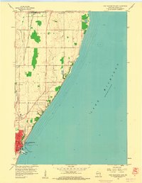
1958 · Port Washington East
USGS Topo · 1:24,000
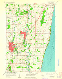
1959 · Cedarburg
USGS Topo · 1:24,000