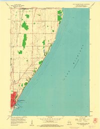
1958 Map of Port Washington East
USGS Topo · Published 1960About this map
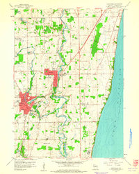
The industrial and maritime activity of the Port Washington shoreline is captured during the late 1950s, a period when the harbor was critical for local infrastructure. Significant lakeside facilities like the Filtration Plant, Sewage Disposal, and a Crib extending into Lake Michigan appear alongside the local Lighthouse and several lights. Inland, the landscape is defined by the Chicago and North Western railroad, which links the city to northern settlements such as Decker and Belgium. The rural character of Ozaukee County is evident through the scattered Gravel Pit sites and small communities like Lake Church and Knellsville. Two primary waterways, Sauk Creek and Sucker Creek, drain the undulating terrain as it descends toward the lake. The map documents a time when Whitefish Rd and other local routes began to frame the expanding suburban edges of the lakefront district.
Find a feature on this map
22 named features on this map. Tap any name to fly to it.
Don’t see what you’re looking for? This feature index may not catch every label — zoom into the map to look around manually.
Map Details
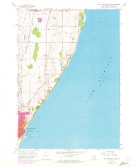
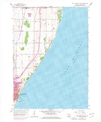
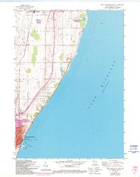
Editions of this 1958 Port Washington East Map
4 editions found
Other maps of this area

1892 · Port Washington
USGS Topo · 1:62,500

1904 · Port Washington
USGS Topo · 1:62,500

1954 · Sheboygan Falls
USGS Topo · 1:62,500

1954 · Sheboygan South
USGS Topo · 1:62,500

1954 · Milwaukee
USGS Topo · 1:250,000

1958 · Milwaukee
USGS Topo · 1:250,000

1959 · Port Washington West
USGS Topo · 1:24,000
1959 · Cedarburg
USGS Topo · 1:24,000
1959 · Port Washington
USGS Topo · 1:62,500
1974 · Random Lake
USGS Topo · 1:24,000