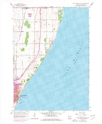
1958 Map of Port Washington East
USGS Topo · Published 1977About this map
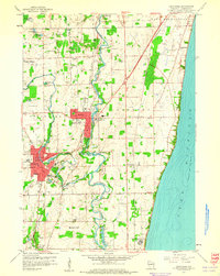
Port Washington anchors the southern lakefront of this survey, showcasing its industrial and maritime infrastructure during the mid-20th century. The coastline is defined by essential utilities including a Filtration Plant, a Sewage Disposal facility, and a Crib situated offshore in Lake Michigan. A Lighthouse marks the harbor entrance, a critical point for the regional shipping economy. Moving north, the landscape transitions into the rural townships of Belgium and the smaller community of Lake Church, where the terrain is punctuated by several Gravel Pit operations.
Find a feature on this map
21 named features on this map. Tap any name to fly to it.
Don’t see what you’re looking for? This feature index may not catch every label — zoom into the map to look around manually.
Map Details
Editions of this 1958 Port Washington East Map
4 editions found
Other maps of this area

1892 · Port Washington
USGS Topo · 1:62,500

1904 · Port Washington
USGS Topo · 1:62,500

1954 · Sheboygan Falls
USGS Topo · 1:62,500

1954 · Sheboygan South
USGS Topo · 1:62,500

1954 · Milwaukee
USGS Topo · 1:250,000

1958 · Milwaukee
USGS Topo · 1:250,000
1958 · Port Washington East
USGS Topo · 1:24,000

1959 · Port Washington West
USGS Topo · 1:24,000
1959 · Cedarburg
USGS Topo · 1:24,000
1959 · Port Washington
USGS Topo · 1:62,500