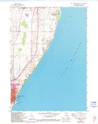
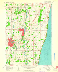
1958 Map of Port Washington East
USGS Topo · Published 1994About this map
Lake Michigan dominates the eastern expanse of this coastal Ozaukee County survey, where the shoreline transition from high bluffs to sandy lowlands is clearly visible. The industrial and maritime character of Port Washington is captured through the presence of a Filtration Plant, Sewage Disposal works, and a Lighthouse guarding the harbor entrance. Further inland, the agricultural landscape of Belgium is bisected by the Chicago and North Western railroad line, which links smaller settlements like Decker, Lake Church, and Druecker.
Find a feature on this map
26 named features on this map. Tap any name to fly to it.
Don’t see what you’re looking for? This feature index may not catch every label — zoom into the map to look around manually.
Map Details
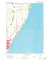
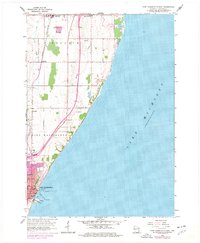
Editions of this 1958 Port Washington East Map
4 editions found
Other maps of this area

1892 · Port Washington
USGS Topo · 1:62,500

1904 · Port Washington
USGS Topo · 1:62,500

1954 · Sheboygan Falls
USGS Topo · 1:62,500

1954 · Sheboygan South
USGS Topo · 1:62,500

1954 · Milwaukee
USGS Topo · 1:250,000

1958 · Milwaukee
USGS Topo · 1:250,000
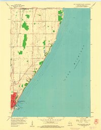
1958 · Port Washington East
USGS Topo · 1:24,000

1959 · Port Washington West
USGS Topo · 1:24,000
1959 · Cedarburg
USGS Topo · 1:24,000
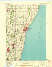
1959 · Port Washington
USGS Topo · 1:62,500