Loading...
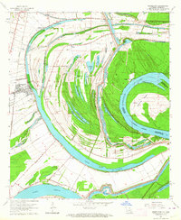
Loading map...1963 Map of Newellton
USGS Topo · Published 1964About this map
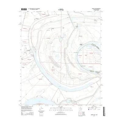
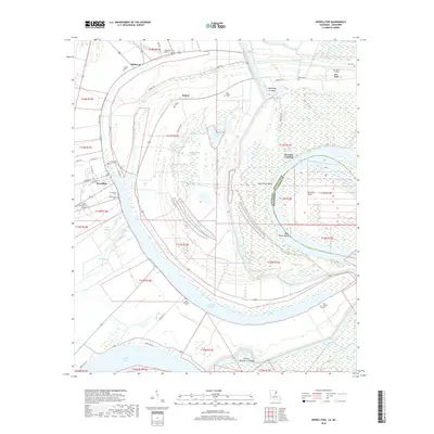
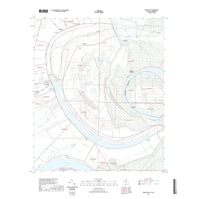
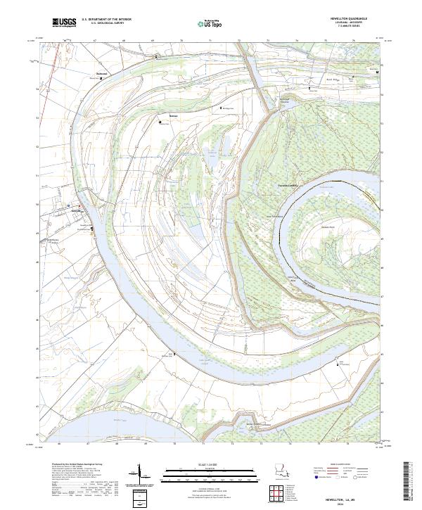
Lake St Joseph and the winding Mississippi River dominate this 1963 landscape, defining the boundaries of Tensas Parish as it meets Claiborne County. The town of Newellton serves as the local hub along the Missouri Pacific railroad, surrounded by a complex network of oxbow lakes and sloughs like Alligator Slough and White Oak Lake that reveal the river's historical path.
Find a feature on this map
48 named features on this map. Tap any name to fly to it.
Don’t see what you’re looking for? This feature index may not catch every label — zoom into the map to look around manually.
Map Details
Date Portrayed1963
Date Published1964
PublisherU.S. Geological Survey
Map TypeTopographic
Scale1:24,000
Physical Dimensions22 x 26.9 inches
Editions of this 1963 Newellton Map
2 editions found
Historical Maps of Newellton Through Time
7 maps found
Featured Locations
Source Details
SourceU.S. Geological Survey
CopyrightPublic Domain