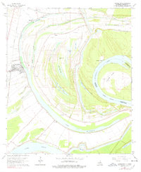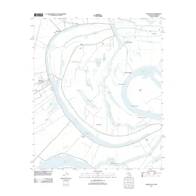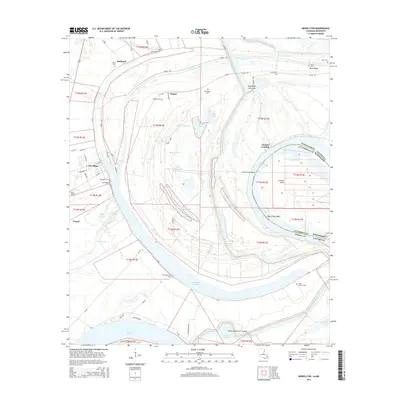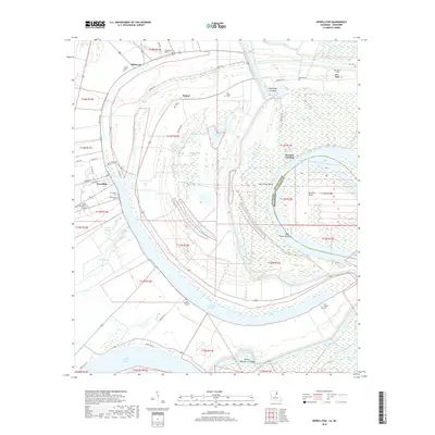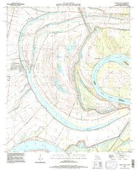
1994 Map of Newellton
USGS Topo · Published 1997About this map
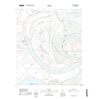
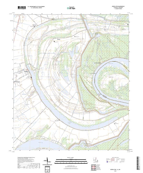
The Mississippi River and its massive abandoned meanders dominate this delta landscape in Tensas Parish. The crescent shapes of Lake St Joseph and Lake Bruin demonstrate the river's historical shifts, while the complex interior drainage includes Phelps Bayou and Alligator Slough. Settlement is concentrated at Newellton and small landings such as Yucatan Landing, where the high ground near the levees provided stability. For family historians, the map is remarkably dense with burial sites including Indian Mounds Cem, Wyoming Cem, and Elk Ridge Cem. The land pattern is a mix of agricultural clearings and swampy basins like Watermelon Lake, reflecting the traditional river-and-rail economy of the Lower Mississippi Valley before modern mechanization fully transformed the shoreline.
Find a feature on this map
36 named features on this map. Tap any name to fly to it.
Don’t see what you’re looking for? This feature index may not catch every label — zoom into the map to look around manually.
Map Details
Editions of this 1994 Newellton Map
This is the sole edition of this map. No revisions or reprints were ever made.
Historical Maps of Newellton Through Time
7 maps found