Loading...
Loading map...2021 Map of Newtonia
USGS Topo · Published 2021About this map
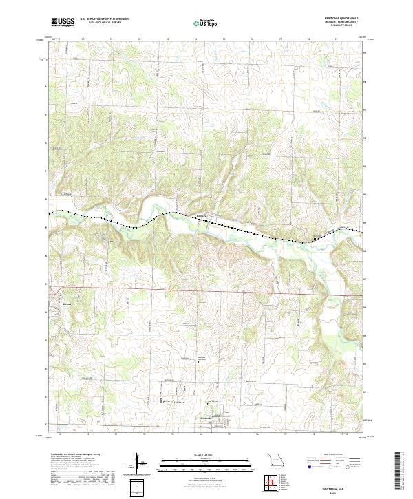
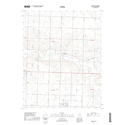
Newtonia and Ritchey anchor this Newton County landscape, defined by a network of creeks and small-town Missouri heritage. The area is notable for its direct links to local history through sites such as the Civil War Cem and the Newtonia IOOF Cem near the town center. The terrain is carved by the winding course of Shoal Creek, which receives several tributaries including Newtonia Br and Clear Creek.
Find a feature on this map
71 named features on this map. Tap any name to fly to it.
Don’t see what you’re looking for? This feature index may not catch every label — zoom into the map to look around manually.
Map Details
Date Portrayed2021
Date Published2021
PublisherU.S. Geological Survey
Map TypeTopographic
Scale1:24,000
Physical Dimensions24 x 29 inches
Editions of this 2021 Newtonia Map
This is the sole edition of this map. No revisions or reprints were ever made.
Historical Maps of Granby Through Time
5 maps found
Featured Locations
Source Details
SourceU.S. Geological Survey
CopyrightPublic Domain