
1916 Map of Neosho
USGS Topo · Published 1916About this map
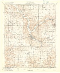
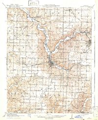
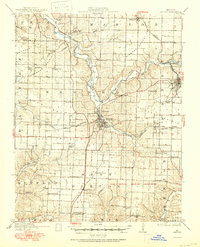
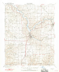
Neosho serves as the central hub of this early twentieth-century Newton County landscape, where the confluence of several major rail lines defines the local economy and movement. The Kansas City Southern, St. Louis and San Francisco, and Missouri and North Arkansas railroads intersect near the town center, illustrating a period of high connectivity. To the east, the mining district around Granby is clearly marked by the Tiger Mine and Mascot Mine, indicating the region's industrial foundations in lead and zinc extraction. The topography is deeply incised by Shoal Creek and its many tributaries, creating a varied terrain that supported a dense network of rural schoolhouses. These small educational centers, such as Jaybird School, Possumtrot School, and Blackjack School, are scattered across the townships of Marion, Benton, and Buffalo, providing a detailed record of pioneer-era settlement patterns before mid-century consolidation.
Find a feature on this map
58 named features on this map. Tap any name to fly to it.
Don’t see what you’re looking for? This feature index may not catch every label — zoom into the map to look around manually.
Map Details
Editions of this 1916 Neosho Map
5 editions found
Other maps of this area

1886 · Joplin
USGS Topo · 1:125,000

1886 · Carthage
USGS Topo · 1:125,000

1894 · Joplin
USGS Topo · 1:125,000

1894 · Carthage
USGS Topo · 1:125,000

1907 · Wyandotte
USGS Topo · 1:125,000

1909 · Wyandotte
USGS Topo · 1:125,000

1921 · Sarcoxie
USGS Topo · 1:62,500

1940 · Noel
USGS Topo · 1:62,500

1941 · Rocky Comfort
USGS Topo · 1:62,500

1943 · Ritchey
USGS Topo · 1:62,500