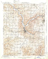
1916 Map of Neosho
USGS Topo · Published 1941About this map
Neosho serves as the central hub of this 1914 survey, where the St Louis and San Francisco and Kansas City Southern railroads converge amidst a landscape defined by lead and zinc mining. Industrial activity is concentrated to the northeast near Granby and Granby City, evidenced by the Tiger Mine and Mascot Mine. The map reveals a dense network of rural education, featuring numerous named institutions like Possumtrot School, Jaybird School, and Blackjack School that once anchored these Ozark communities. Along the winding course of Shoal Creek, small settlements such as Tipton Ford and Newtown appear alongside early motor routes like the Scenic Road and Seneca Road, illustrating the era's transition from rail-dependent commerce to localized travel.
Find a feature on this map
74 named features on this map. Tap any name to fly to it.
Don’t see what you’re looking for? This feature index may not catch every label — zoom into the map to look around manually.
Map Details
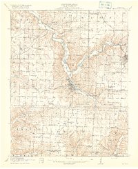
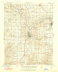
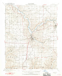
Editions of this 1916 Neosho Map
5 editions found
Other maps of this area

1886 · Joplin
USGS Topo · 1:125,000

1886 · Carthage
USGS Topo · 1:125,000

1894 · Joplin
USGS Topo · 1:125,000

1894 · Carthage
USGS Topo · 1:125,000

1907 · Wyandotte
USGS Topo · 1:125,000

1909 · Wyandotte
USGS Topo · 1:125,000

1916 · Neosho
USGS Topo · 1:62,500

1921 · Sarcoxie
USGS Topo · 1:62,500

1940 · Noel
USGS Topo · 1:62,500

1941 · Rocky Comfort
USGS Topo · 1:62,500