Old Maps of McElhany, Missouri
Explore 10 old maps of McElhany, spanning from 1916 to today. These high-resolution historic maps reveal how streets, neighborhoods, landmarks, and natural features evolved over time — perfect for genealogy, metal detecting, research, and local history exploration.
What you can do with these maps:
- See how McElhany changed over time: Compare historical maps to modern-day views to trace roads, homesites, rail lines & more.
- View detailed metadata: Each map includes creators, publishers, year, scale, and archive source.
- Overlay maps with satellite & LiDAR: Visualize the past alongside modern tools to explore terrain & human change.
- Trusted historical sources: Maps sourced from the USGS, Library of Congress, and other archives.
- Access maps your way: View online, download high-res files, or order prints for personal or research use.
Start exploring old maps of McElhany to uncover forgotten places, hidden landmarks, and the deep history beneath your feet.
McElhany, MO maps
(10)- 1916 Map of Neosho
 1916 Neosho1916 Print · USGSNewton County's rail and mining heart beat strong during the years before the Great War. Genealogists and local historians can trace forgotten rural schoolhouses like Possumtrot School and Jaybird School, or locate early lead workings such as the Tiger Mine near Granby.5 unique versions available
 - 1954 Map of Tulsa
 1954 Tulsa1954 Print · USGSNortheast Oklahoma and the Ozark border are shown here during a period of massive industrial and infrastructure growth. Researchers can trace the legacy of the Tri-State Mining District and the development of major reservoirs like Grand Lake O' The Cherokees.2 unique versions available
 - 1958 Map of Tulsa, 1968 Print
 1958 Tulsa1968 Print · USGSNortheast Oklahoma and the Ozark borderlands are captured here during a massive era of reservoir construction and highway expansion. Researchers can trace the mid-century footprints of Tulsa, the sprawling Lake O' the Cherokees, and historical sites like Pea Ridge National Military Park.3 unique versions available
 - 1963 Map of Tulsa
 1963 Tulsa1963 Print · USGSThe Oklahoma and Arkansas borderlands are shown here in the early sixties, a time of massive reservoir construction and heavy mining. Genealogists can trace family roots through settlements like Nowata, Pryor, and Jay, or locate historical zinc and lead mines and coal mines.
 - 1972 Map of Neosho West, 1973 Print
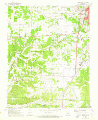 1972 Neosho West1973 Print · USGSThe western outskirts of Neosho and the rural prairies of Newton County are documented here in the early seventies as the city grew. Researchers can trace family history through sites like New Salem Cem, find the location of the Drive-in Theater, or follow the path of the St Louis San Francisco railroad.2 unique versions available
 - 1986 Map of Neosho
 1986 Neosho1986 Print · USGSThe tri-state border region comes alive in the mid-eighties as a landscape of mining heritage and river valleys. Researchers can trace the rail lines of the Kansas City Southern Ry and locate rural landmarks like Gibson Cem and Peoria.2 unique versions available
 - 2012 Map of Neosho West, 2012 Print
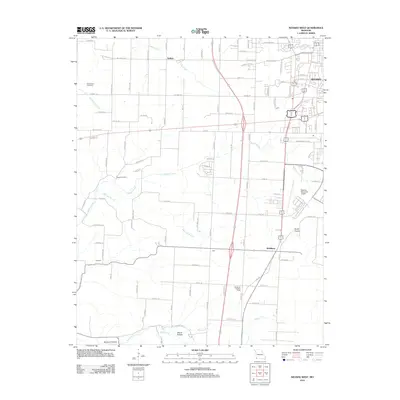 2012 Neosho West2012 Print · USGSNewton County's western outskirts and rural townships are captured in this early 2000s survey of the Missouri landscape. Researchers can locate family landmarks along Buffalo Creek, find the New Salem Cemetery, and trace the development around McElhany and the Neosho Memorial Airport.
 - 2015 Map of Neosho West, 2015 Print
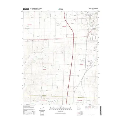 2015 Neosho West2015 Print · USGSThe western outskirts of Neosho and the rural corridors of Newton County are shown here in the mid-2010s as they transition toward the McDonald County line. Genealogists can locate family plots at New Salem Cemetery or Regan Cemetery and trace old routes through Belfast and McElhany.
 - 2017 Map of Neosho West, 2017 Print
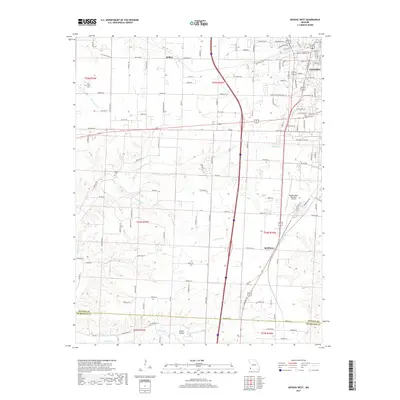 2017 Neosho West2017 Print · USGSThe western edge of Neosho and the settlement of Belfast are detailed here in this 2017 survey of Newton County. Researchers can trace rural landmarks and family-named roads near New Salem Cem, Regan Cem, and the waters of Buffalo Cr.
 - 2021 Map of Neosho West, 2021 Print
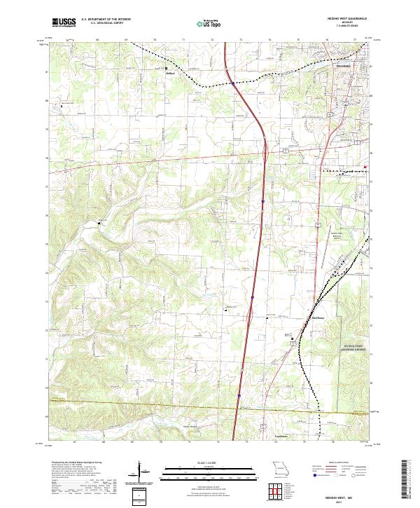 2021 Neosho West2021 Print · USGSNewton County in the early twenty-first century reveals a landscape where traditional Ozark settlements meet modern aviation and transit. Genealogists can trace family connections through sites like Belfast Cem, New Salem Cem, and the rural crossroads of McElhany.
End of results
Showing maps 1-10 of 10
Top cities near McElhany
- Neosho historical maps
- Seneca historical maps
- Granby historical maps
- Anderson historical maps
- Goodman historical maps
- Diamond historical maps
See more
Frequently asked questions
- What are the different types of historical maps available for McElhany?
- What is the oldest map of McElhany?
- Where can I purchase historical maps of McElhany for my home or office?
- Where can I download high-res historical maps of McElhany?
- Are there historical topographic maps available for McElhany?
- Is there historical aerial imagery available for McElhany?
- Where are historical maps of McElhany sourced from?