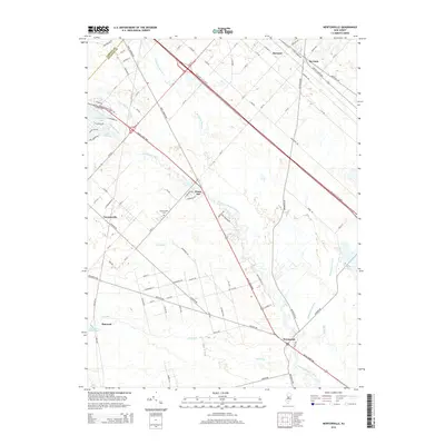
2014 Map of Newtonville
USGS Topo · Published 2014About this map
The Great Egg Harbor River carves a winding path through this corner of the Pine Barrens, defining the low-lying landscape along the border of Atlantic and Camden Counties. The settlement at Newtonville sits west of the river, marked by the Newtonville Cem and a grid of residential streets like Jackson Rd and 8th St. To the south, the village of Weymouth occupies a bend in the river near where the Black Horse Pike crosses the water.
Find a feature on this map
92 named features on this map. Tap any name to fly to it.
Don’t see what you’re looking for? This feature index may not catch every label — zoom into the map to look around manually.
Map Details
Editions of this 2014 Newtonville Map
This is the sole edition of this map. No revisions or reprints were ever made.
Other maps of this area

1890 · Great Egg Harbor
USGS Topo · 1:62,500

1890 · Hammonton
USGS Topo · 1:62,500

1890 · Tuckahoe
USGS Topo · 1:62,500

1890 · Mullica
USGS Topo · 1:62,500

1893 · Great Egg Harbor
USGS Topo · 1:62,500

1893 · Tuckahoe
USGS Topo · 1:62,500

1894 · Hammonton
USGS Topo · 1:62,500

1894 · Mullica
USGS Topo · 1:62,500

1898 · Mullica
USGS Topo · 1:62,500

1898 · Hammonton
USGS Topo · 1:62,500