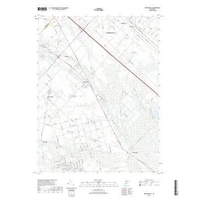
2019 Map of Newtonville
USGS Topo · Published 2019About this map
Newtonville and the surrounding pine woods of southern New Jersey are defined by a network of historic roads and waterways at the border of Camden County and Atlantic County. The Great Egg Harbor River winds through the eastern portion of the map, joined by tributaries like Penny Pot Stream and Hospitality Br. The settlement of Pancoast sits near the Pancoast Mill Pond, while Weymouth occupies the southeastern corner near Deep Run.
Find a feature on this map
131 named features on this map. Tap any name to fly to it.
Don’t see what you’re looking for? This feature index may not catch every label — zoom into the map to look around manually.
Map Details
Editions of this 2019 Newtonville Map
This is the sole edition of this map. No revisions or reprints were ever made.
Other maps of this area

1890 · Great Egg Harbor
USGS Topo · 1:62,500

1890 · Hammonton
USGS Topo · 1:62,500

1890 · Tuckahoe
USGS Topo · 1:62,500

1890 · Mullica
USGS Topo · 1:62,500

1893 · Great Egg Harbor
USGS Topo · 1:62,500

1893 · Tuckahoe
USGS Topo · 1:62,500

1894 · Hammonton
USGS Topo · 1:62,500

1894 · Mullica
USGS Topo · 1:62,500

1898 · Mullica
USGS Topo · 1:62,500

1898 · Hammonton
USGS Topo · 1:62,500