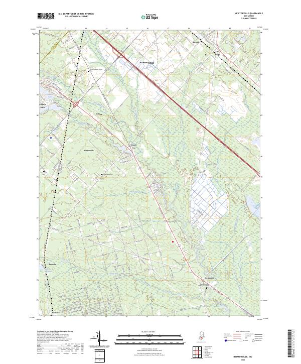
2023 Map of Newtonville
USGS Topo · Published 2023About this map
The Great Egg Harbor River and its network of tributaries, including Hospitality Branch and Indian Branch, dictate the settlement patterns of this Pine Barrens landscape. The area is defined by a cluster of small communities and rural intersections, from the residential grids of Newtonville and Richland to the historic grounds of Weymouth. Waterways remain central to the geography, with Pancoast Mill Pond on Deep Run and the winding Makepeace Stream illustrating the hydrologic complexity of Atlantic County.
Find a feature on this map
137 named features on this map. Tap any name to fly to it.
Don’t see what you’re looking for? This feature index may not catch every label — zoom into the map to look around manually.
Map Details
Editions of this 2023 Newtonville Map
This is the sole edition of this map. No revisions or reprints were ever made.
Other maps of this area

1890 · Great Egg Harbor
USGS Topo · 1:62,500

1890 · Hammonton
USGS Topo · 1:62,500

1890 · Tuckahoe
USGS Topo · 1:62,500

1890 · Mullica
USGS Topo · 1:62,500

1893 · Great Egg Harbor
USGS Topo · 1:62,500

1893 · Tuckahoe
USGS Topo · 1:62,500

1894 · Hammonton
USGS Topo · 1:62,500

1894 · Mullica
USGS Topo · 1:62,500

1898 · Mullica
USGS Topo · 1:62,500

1898 · Hammonton
USGS Topo · 1:62,500