2024 Map of Newville
USGS Topo · Published 2024About this map
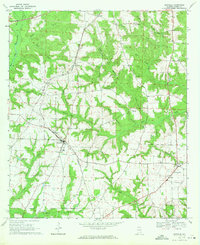
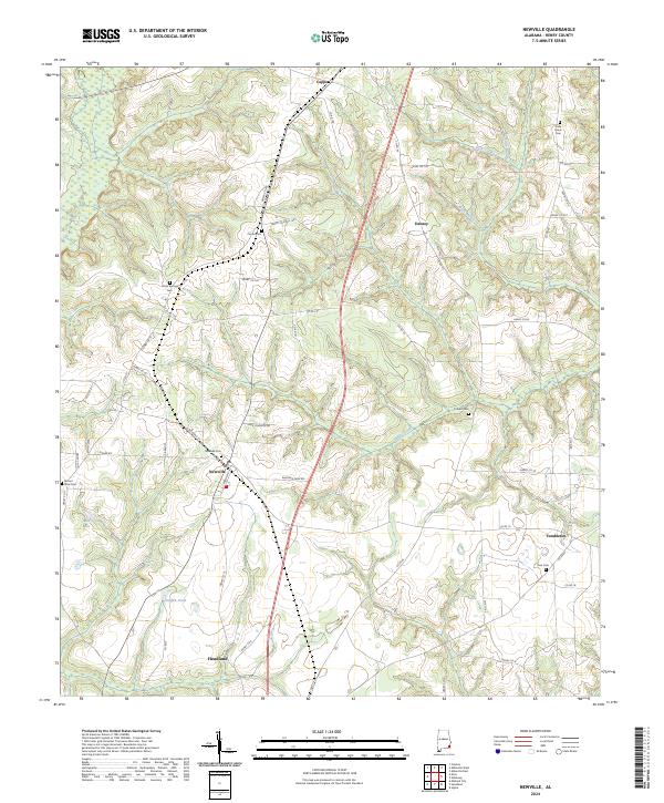
Newville serves as the central hub of this Henry County landscape, where the local road network converges around S Railroad St and Bowden St. The settlement pattern is deeply connected to its rural roots, evidenced by the numerous family and community burial grounds dispersed throughout the township boundaries. From Oaky Grove Cem in the northeast to Mount Sinai Cem in the west, these sites offer a significant record for genealogical research in southeastern Alabama. The terrain is defined by a series of north-south drainage systems, including Sandy Creek and Noles Branch, which create a rolling topography between the small communities of Capps, Danzey, and Tumbleton. Modern infrastructure like Henry Co Road 146 and Sadie Johnson Rd follows the high ground, linking isolated homesteads and local landmarks like Griffin Pond.
Find a feature on this map
59 named features on this map. Tap any name to fly to it.
Don’t see what you’re looking for? This feature index may not catch every label — zoom into the map to look around manually.
Map Details
Editions of this 2024 Newville Map
This is the sole edition of this map. No revisions or reprints were ever made.