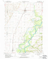
1970 Map of Nichols
USGS Topo · Published 1986About this map
The Chicago Rock Island and Pacific railroad creates a sharp diagonal axis through this eastern Iowa landscape, centering on the community of Nichols. This 1970 record captures a riverine economy defined by the winding course of the Cedar River and its interaction with agricultural drainage, including the Slough and Cone Lake. Genealogists will find a high density of rural burial grounds such as Brockway Cem, Oak Grove Cem, and Rogers Cem, which reflect the early settlement patterns of Pike and Cedar townships. Transportation infrastructure is represented by the McKeown Bridge and a Gaging Station on the river, while the presence of the Grange Hall north of the river suggests the importance of local agricultural societies. Small rail-side hamlets like Hockeys and Cranston anchor the eastern and southern portions of the sheet, connected by the intersecting lines of the Chicago Milwaukee St Paul and Pacific railroad.
Find a feature on this map
30 named features on this map. Tap any name to fly to it.
Don’t see what you’re looking for? This feature index may not catch every label — zoom into the map to look around manually.
Map Details
Editions of this 1970 Nichols Map
2 editions found
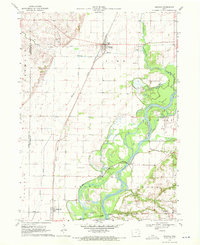
Other maps of this area

1891 · Wilton Junction
USGS Topo · 1:62,500

1894 · West Liberty
USGS Topo · 1:62,500

1901 · Stanwood
USGS Topo · 1:125,000

1948 · Muscatine
USGS Topo · 1:62,500

1958 · Davenport
USGS Topo · 1:250,000

1961 · Davenport
USGS Topo · 1:250,000

1962 · Davenport
USGS Topo · 1:250,000
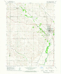
1965 · West Liberty
USGS Topo · 1:24,000

1965 · Letts
USGS Topo · 1:24,000
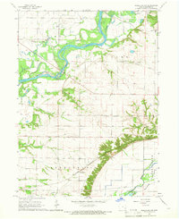
1965 · Muscatine NW
USGS Topo · 1:24,000