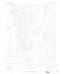
1971 Map of Ninaview
USGS Topo · Published 1973About this map
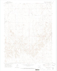
The borderlands of Bent and Las Animas Counties in the early 1970s are defined by the convergence of steep canyon topography and the ranching landscape. Ninaview serves as the primary settlement hub in this arid region, where the Atchison Topeka and Santa Fe railroad cuts across the northeastern corner near Ruxton Draw. The map reveals a community anchored by landmarks like the Pine Hill School and a network of named springs and creeks, such as Rule Creek and Smith Creek, which were essential for survival in the high plains. Distinctive geological formations dominate the southern portion of the sheet, including the curiously named Devils Rocking Chair, Eagle Cliff, and Round Mound. These features, along with scattered Gravel Pit sites and a Pipeline, illustrate a landscape where natural geology and industrial infrastructure coexist at the edge of the Colorado canyons.
Find a feature on this map
18 named features on this map. Tap any name to fly to it.
Don’t see what you’re looking for? This feature index may not catch every label — zoom into the map to look around manually.
Map Details
Editions of this 1971 Ninaview Map
This is the sole edition of this map. No revisions or reprints were ever made.
Other maps of this area

1891 · Higbee
USGS Topo · 1:125,000

1893 · Higbee
USGS Topo · 1:125,000

1955 · La Junta
USGS Topo · 1:250,000

1958 · La Junta
USGS Topo · 1:250,000

1966 · Toonerville SE
USGS Topo · 1:24,000
1966 · Toonerville
USGS Topo · 1:24,000
1966 · Turkey Canyon
USGS Topo · 1:24,000

1968 · La Junta
USGS Topo · 1:250,000
1971 · Walker Canyon
USGS Topo · 1:24,000
1971 · Plug Hat Ranch
USGS Topo · 1:24,000