Loading...
Loading map...2022 Map of Nokesville
USGS Topo · Published 2022About this map
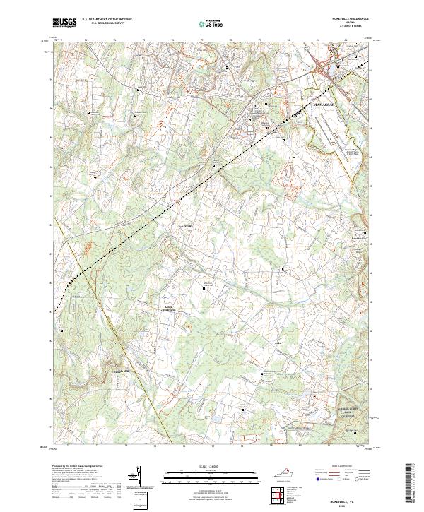
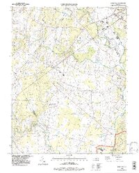
Manassas and its southwestern pastoral surroundings are captured in this detailed 2022 survey, revealing a landscape defined by the convergence of suburban expansion and historical preservation. The northern portion of the map is anchored by the Manassas Regional Airport/Harry P. Davis Field, while the southern reaches extend into the northern edge of Quantico Marine Corps Base.
Find a feature on this map
48 named features on this map. Tap any name to fly to it.
Don’t see what you’re looking for? This feature index may not catch every label — zoom into the map to look around manually.
Map Details
Date Portrayed2022
Date Published2022
PublisherU.S. Geological Survey
Map TypeTopographic
Scale1:24000
Physical Dimensions24 x 29 inches
Editions of this 2022 Nokesville Map
This is the sole edition of this map. No revisions or reprints were ever made.
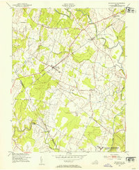
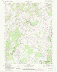
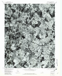
Historical Maps of Nokesville Through Time
5 maps found
Featured Locations
Source Details
SourceU.S. Geological Survey
CopyrightPublic Domain