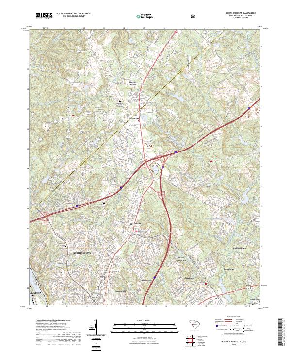
2024 Map of North Augusta
USGS Topo · Published 2024About this map
The Savannah River forms the southwestern boundary of this South Carolina landscape, separating North Augusta from the industrial edge of Augusta, Georgia. The area is defined by a dense network of residential communities and suburban growth including Belvedere, Murphys Estates, and Summer Hill. Significant for local historians and genealogists, the map preserves the locations of numerous historic burial sites and congregations, such as Mealing Grove Church Graveyard and the Sweetwater Church Graveyard.
Find a feature on this map
278 named features on this map. Tap any name to fly to it.
Don’t see what you’re looking for? This feature index may not catch every label — zoom into the map to look around manually.
Map Details
Editions of this 2024 North Augusta Map
This is the sole edition of this map. No revisions or reprints were ever made.