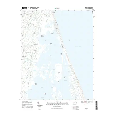
2016 Map of North Bay
USGS Topo · Published 2016About this map
Sandbridge Beach stands as a narrow barrier between the Atlantic Ocean and the complex brackish waterways of the Virginia coast. This landscape is defined by the transition from the oceanfront dunes of Sand Ridge to the protected reaches of North Bay and Shipps Bay. The interior is a labyrinth of marshes and islands, including Bread Island and Ragged Island, which reflect the historic coastal geography of the Back Bay area. Smaller settlements like Sigma and Dawley Corners sit on the higher ground of the mainland, connected by a network of rural roads such as Indian River Rd and Charity Neck Rd. The geography here reveals an environment where water and land are intimately intertwined, with named features like Rock Island Haul and Gall Bush Point marking the intricate edges of the Sound.
Find a feature on this map
77 named features on this map. Tap any name to fly to it.
Don’t see what you’re looking for? This feature index may not catch every label — zoom into the map to look around manually.
Map Details
Editions of this 2016 North Bay Map
This is the sole edition of this map. No revisions or reprints were ever made.
Other maps of this area

1893 · Virginia Beach
USGS Topo · 1:125,000

1907 · Norfolk
USGS Topo · 1:125,000

1916 · Back Bay
USGS Topo · 1:62,500

1918 · Cape Henry
USGS Topo · 1:62,500

1919 · Cape Henry
USGS Topo · 1:62,500

1939 · Moyock
USGS Topo · 1:62,500

1943 · Back Bay
USGS Topo · 1:62,500

1946 · Moyock
USGS Topo · 1:62,500

1946 · Eastville
USGS Topo · 1:250,000

1946 · Currituck Sound
USGS Topo · 1:250,000