Loading...
Loading map...2022 Map of North Branch
USGS Topo · Published 2022About this map
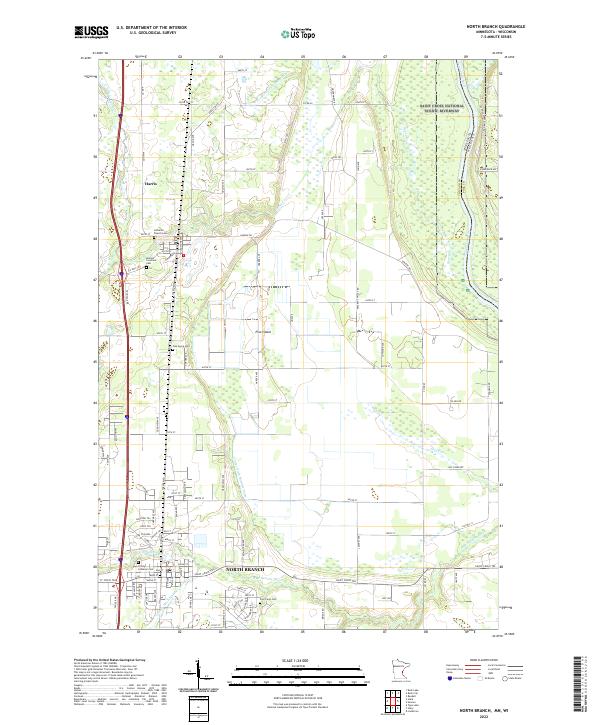
North Branch serves as the primary hub in this portion of Chisago County, where the N Br Sunrise River and the winding St Croix River define the local landscape. The map captures a mix of structured municipal development and significant agricultural drainage, evidenced by a series of engineered waterways like County Ditch Number Nine and County Ditch Number Three. To the north, the settlement of Harris is established near several religious centers including the Mission Covenant Ch.
Find a feature on this map
107 named features on this map. Tap any name to fly to it.
Don’t see what you’re looking for? This feature index may not catch every label — zoom into the map to look around manually.
Map Details
Date Portrayed2022
Date Published2022
PublisherU.S. Geological Survey
Map TypeTopographic
Scale1:24000
Physical Dimensions24 x 29 inches
Editions of this 2022 North Branch Map
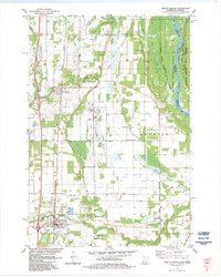
This is the sole edition of this map. No revisions or reprints were ever made.
Historical Maps of Peaceful Valley Mobile Home Park Through Time
Featured Locations
- Harris, MN
- North Branch, MN
- Sunrise Township, MN
- Oakwood Court, North Branch
- Peaceful Valley Mobile Home Park, North Branch
Source Details
SourceU.S. Geological Survey
CopyrightPublic Domain