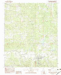
1983 Map of North Carrollton
USGS Topo · Published 1983About this map
North Carrollton and neighboring Carrollton anchor the southern portion of this map, situated where the Columbus and Greenville railroad parallels the meandering path of the Big Black River. This early 1980s survey captures a landscape defined by small rural congregations and numerous family cemeteries, such as Lott Cem and Browns Cem, scattered across the undulating terrain north of the river. The concentration of educational and civic buildings, including Marshall Sch and J Z George Sch, illustrates the late 20th-century community structure of Carroll County.
Find a feature on this map
46 named features on this map. Tap any name to fly to it.
Don’t see what you’re looking for? This feature index may not catch every label — zoom into the map to look around manually.
Map Details
Editions of this 1983 North Carrollton Map
This is the sole edition of this map. No revisions or reprints were ever made.
Other maps of this area

1936 · Greenwood
USGS Topo · 1:62,500

1940 · Seven Pines
USGS Topo · 1:62,500

1940 · Greenwood
USGS Topo · 1:62,500

1953 · Greenwood
USGS Topo · 1:250,000

1953 · West Point
USGS Topo · 1:250,000

1954 · McCarley
USGS Topo · 1:62,500

1956 · Greenwood
USGS Topo · 1:250,000

1957 · Greenwood
USGS Topo · 1:62,500

1957 · Seven Pines
USGS Topo · 1:62,500

1958 · West Point
USGS Topo · 1:250,000