Loading...
Loading map...2021 Map of North Edwards
USGS Topo · Published 2021About this map
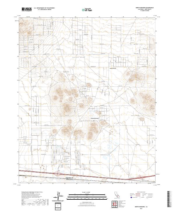
North Edwards and Aerial Acres stand as distinct residential hubs within the vast expanses of the Mojave Desert. This 2021 survey reveals a complex grid of planned streets such as Sequoia Blvd and Rosewood Blvd that stretch across the Peerless Valley, reflecting a twentieth-century desert development pattern centered on the proximity to Edwards Air Force Base.
Find a feature on this map
55 named features on this map. Tap any name to fly to it.
Don’t see what you’re looking for? This feature index may not catch every label — zoom into the map to look around manually.
Map Details
Date Portrayed2021
Date Published2021
PublisherU.S. Geological Survey
Map TypeTopographic
Scale1:24000
Physical Dimensions24 x 29 inches
Editions of this 2021 North Edwards Map
This is the sole edition of this map. No revisions or reprints were ever made.
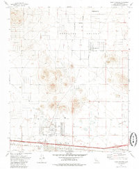
Historical Maps of Aerial Acres Through Time
Featured Locations
Source Details
SourceU.S. Geological Survey
CopyrightPublic Domain