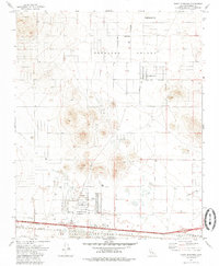
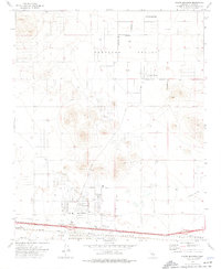
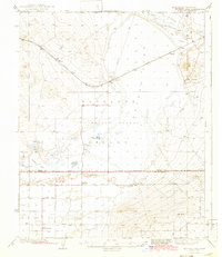
1973 Map of North Edwards
USGS Topo · Published 1985About this map
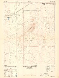
Edwards Air Force Base occupies the southern portion of this landscape, defining the transition from military operations to civilian settlements in the High Desert. The map captures the planned expansion of California City and its corporate boundary during a period of significant regional growth. To the south, the community of North Edwards is established along the Atchison Topeka and Santa Fe railroad, featuring residential grids like Lorraine Ave and local infrastructure such as Lynch Sch. The terrain of Peerless Valley is dotted with numerous wells and small-scale operations like Clay Mine Road and a Quarry, illustrating the area's dual reliance on aerospace defense and resource extraction. Distinctive landmarks such as the Thundering Herd Ranch and Aerial Acres provide specific points of interest for genealogists and local historians tracking the rural development of Kern County.
Find a feature on this map
21 named features on this map. Tap any name to fly to it.
Don’t see what you’re looking for? This feature index may not catch every label — zoom into the map to look around manually.
Map Details
Editions of this 1973 North Edwards Map
2 editions found
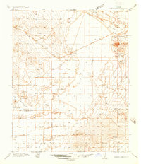
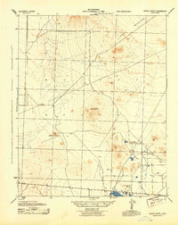
Other maps of this area

1915 · Searles Lake
USGS Topo · 1:250,000

1937 · Kramer
USGS Topo · 1:48,000
1937 · Rogers Lake
USGS Topo · 1:48,000
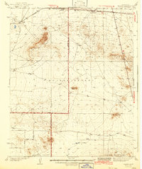
1942 · Kramer
USGS Topo · 1:62,500
1942 · Rogers Lake
USGS Topo · 1:62,500
1943 · Castle Butte
USGS Topo · 1:62,500
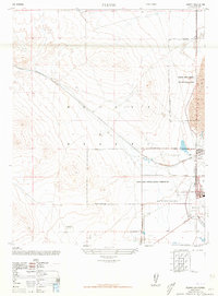
1947 · Fluhr
USGS Topo · 1:24,000
1947 · Castle Butte
USGS Topo · 1:50,000
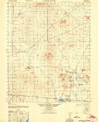
1947 · Rich
USGS Topo · 1:24,000
1947 · Desert Butte
USGS Topo · 1:24,000