
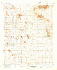
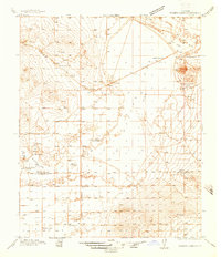
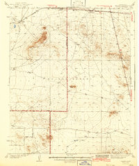
1937 Map of Kramer
USGS Topo · Published 1937About this map
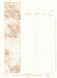
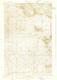
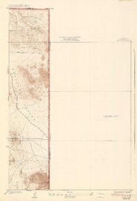
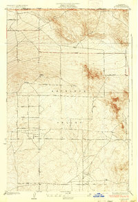
The Mojave Desert terrain at the intersection of Kern, San Bernardino, and Los Angeles counties is captured in this 1930s survey. The landscape is defined by the heavy infrastructure of the Atchison Topeka and Santa Fe railroad, which parallels U S Highway No 466 through the northern reaches. Small settlements and sidings such as Rich, Amargo, and Kramer dot the rail line, while Beecher sits further east along the highway.
Find a feature on this map
15 named features on this map. Tap any name to fly to it.
Don’t see what you’re looking for? This feature index may not catch every label — zoom into the map to look around manually.
Map Details
Editions of this 1937 Kramer Map
This is the sole edition of this map. No revisions or reprints were ever made.
Other maps of this area

1915 · Searles Lake
USGS Topo · 1:250,000
1931 · Adobe
USGS Topo · 1:24,000
1931 · Hi Vista
USGS Topo · 1:24,000

1932 · Barstow
USGS Topo · 1:125,000

1934 · Barstow
USGS Topo · 1:125,000
1934 · Adobe
USGS Topo · 1:24,000
1935 · Hi Vista
USGS Topo · 1:24,000
1937 · Shadow Mountains
USGS Topo · 1:48,000
1937 · Rogers Lake
USGS Topo · 1:48,000
1942 · Kramer
USGS Topo · 1:62,500