
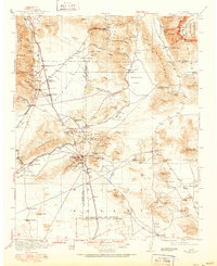
1915 Map of Searles Lake
USGS Topo · Published 1915About this map
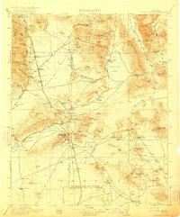
Mining operations and early industrial infrastructure dominate this Mojave Desert landscape just before the First World War. The region is anchored by the bustling gold and silver districts near Randsburg and Johannesburg, where the Rand Mountains meet the high desert floor. To the north, the massive dry expanse of Searles Lake serves as a hub for chemical extraction, supported by the Trona RR and the soda works at Trona. The map reveals a complex network of resource extraction, including the Arando Mine in the Argus Range and Summit Diggings near the El Paso Mountains. This era represents a peak for the local rail-and-mine economy, with the Southern Pacific and its Owenyo Branch connecting remote sidings like Mabel Siding and Terese Siding to the broader California market. Water sources, critical for survival and industry, are clearly marked at Lone Willow Spring and Cuddeback Lake.
Find a feature on this map
109 named features on this map. Tap any name to fly to it.
Don’t see what you’re looking for? This feature index may not catch every label — zoom into the map to look around manually.
Map Details
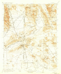
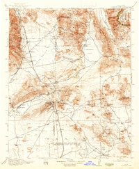
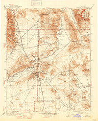
Editions of this 1915 Searles Lake Map
6 editions found
Other maps of this area

1903 · Randsburg
USGS Topo · 1:62,500

1905 · Olancha
USGS Topo · 1:125,000

1906 · Kernville
USGS Topo · 1:125,000

1907 · Olancha
USGS Topo · 1:125,000

1908 · Furnace Creek
USGS Topo · 1:250,000

1908 · Kernville
USGS Topo · 1:125,000

1908 · Ballarat
USGS Topo · 1:250,000

1910 · Furnace Creek
USGS Topo · 1:250,000

1911 · Randsburg
USGS Topo · 1:62,500

1912 · Randsburg
USGS Topo · 1:62,500