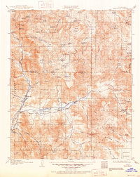
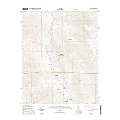
1906 Map of Kernville
USGS Topo · Published 1955About this map
The Kern River and its South Fork define this 1906 landscape, flowing through a region where mining and high-altitude ranching shaped the early development of the Sierra Nevada Mountains. At the heart of the valley, the original town of Kernville serves as a hub near the Big Blue Mine, while Isabella and Weldon anchor the agricultural activity along the river flats before the mid-century creation of the reservoir. The topography transition from the Mojave Desert floor into the steep Greenhorn Mountains is captured in detail, showing a network of grazing meadows and pack trails that connected remote camps and stations.
Find a feature on this map
90 named features on this map. Tap any name to fly to it.
Don’t see what you’re looking for? This feature index may not catch every label — zoom into the map to look around manually.
Map Details
Editions of this 1906 Kernville Map
This is the sole edition of this map. No revisions or reprints were ever made.
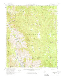
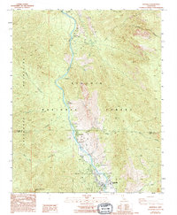
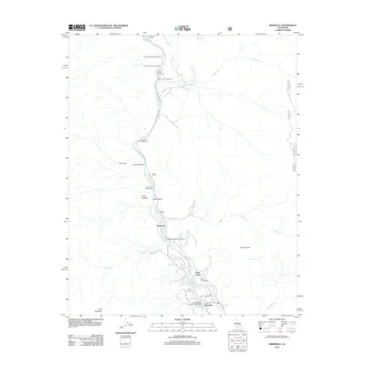
Historical Maps of Lake Isabella Through Time
8 maps found