
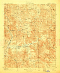
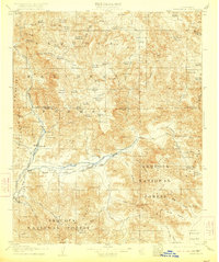
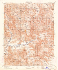
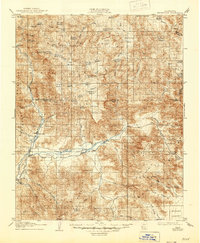
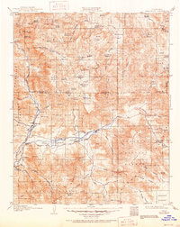
1908 Map of Kernville
USGS Topo · Published 1908About this map
The Kern River flows through a landscape defined by early ranching and mineral exploration at the southern edge of the Sierra Nevada Mountains. This 1906 survey details the confluence where the South Fork Kern River meets the main branch near Isabella, a region soon to be transformed by hydraulic engineering. Settled nodes like Kernville and Onyx appear as established agricultural and supply centers for the surrounding high country, while Vaughn Bodfish P.O. serves the nearby canyons.
Find a feature on this map
113 named features on this map. Tap any name to fly to it.
Don’t see what you’re looking for? This feature index may not catch every label — zoom into the map to look around manually.
Map Details
Editions of this 1908 Kernville Map
6 editions found
Other maps of this area

1904 · Kaweah
USGS Topo · 1:125,000

1905 · Olancha
USGS Topo · 1:125,000

1905 · Fairview
USGS Topo · 1:24,000

1906 · Kernville
USGS Topo · 1:125,000

1907 · Olancha
USGS Topo · 1:125,000

1908 · Ballarat
USGS Topo · 1:250,000

1909 · Kaweah
USGS Topo · 1:125,000

1913 · Ballarat
USGS Topo · 1:250,000

1914 · Caliente
USGS Topo · 1:125,000

1915 · Searles Lake
USGS Topo · 1:250,000