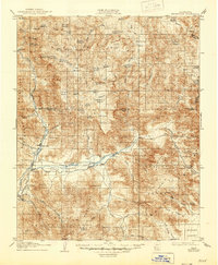
1908 Map of Kernville
USGS Topo · Published 1946About this map
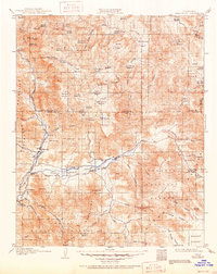
The Kern River and its South Fork anchor this high-elevation landscape as it appeared in the first decade of the 1900s. Early settlements like Kernville and Isabella sit near the river junction, serving as hubs for the surrounding Sequoia National Forest. The map captures a transition from river-bottom ranching in the South Fork Valley to high-country grazing in the numerous mountain meadows of the Greenhorn Mountains.
Find a feature on this map
99 named features on this map. Tap any name to fly to it.
Don’t see what you’re looking for? This feature index may not catch every label — zoom into the map to look around manually.
Map Details
Editions of this 1908 Kernville Map
6 editions found
Other maps of this area

1904 · Kaweah
USGS Topo · 1:125,000

1905 · Olancha
USGS Topo · 1:125,000

1905 · Fairview
USGS Topo · 1:24,000

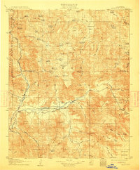
1906 · Kernville
USGS Topo · 1:125,000

1907 · Olancha
USGS Topo · 1:125,000

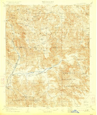
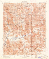
1908 · Kernville
USGS Topo · 1:125,000

1908 · Ballarat
USGS Topo · 1:250,000

1909 · Kaweah
USGS Topo · 1:125,000

1913 · Ballarat
USGS Topo · 1:250,000

1914 · Caliente
USGS Topo · 1:125,000