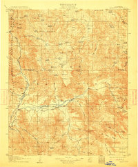
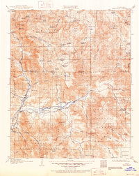
1908 Map of Kernville
USGS Topo · Published 1912About this map
Kernville and the Hot Spring Valley form the focal point of this early 20th-century survey, conducted just years before regional water management would fundamentally alter the landscape. The confluence of the Kern River and the South Fork Kern River near Isabella anchors a series of small agricultural and ranching settlements, including Weldon, Onyx, and the Vaughn Bodfish PO. High-country meadows like Cannell Meadow and Big Meadow illustrate the seasonal grazing patterns within the Sequoia National Forest and Sierra National Forest.
Find a feature on this map
88 named features on this map. Tap any name to fly to it.
Don’t see what you’re looking for? This feature index may not catch every label — zoom into the map to look around manually.
Map Details
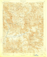
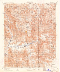
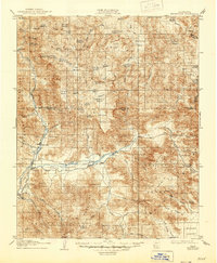
Editions of this 1908 Kernville Map
6 editions found
Other maps of this area

1904 · Kaweah
USGS Topo · 1:125,000

1905 · Olancha
USGS Topo · 1:125,000

1905 · Fairview
USGS Topo · 1:24,000

1906 · Kernville
USGS Topo · 1:125,000

1907 · Olancha
USGS Topo · 1:125,000

1908 · Kernville
USGS Topo · 1:125,000

1908 · Ballarat
USGS Topo · 1:250,000

1909 · Kaweah
USGS Topo · 1:125,000

1913 · Ballarat
USGS Topo · 1:250,000

1914 · Caliente
USGS Topo · 1:125,000