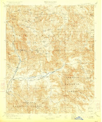
1908 Map of Kernville
USGS Topo · Published 1922About this map
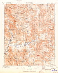
The South Fork Kern River and the main Kern River converge near the early settlements of Isabella and Kernville in this 1908 survey. This landscape preserves the geography of the southern Sierras before the mid-century creation of Lake Isabella, showing the original riverbeds and the neighboring communities of Weldon and Onyx along the valley floor. High-altitude meadows like Big Meadow and Kennedy Meadows are interspersed with peaks such as Sirretta Pk and Chimney Pk.
Find a feature on this map
84 named features on this map. Tap any name to fly to it.
Don’t see what you’re looking for? This feature index may not catch every label — zoom into the map to look around manually.
Map Details
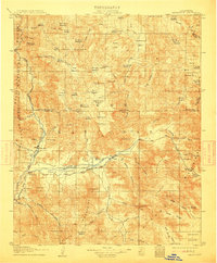
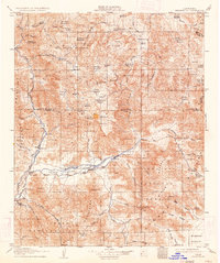
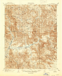
Editions of this 1908 Kernville Map
6 editions found
Other maps of this area

1904 · Kaweah
USGS Topo · 1:125,000

1905 · Olancha
USGS Topo · 1:125,000

1905 · Fairview
USGS Topo · 1:24,000

1906 · Kernville
USGS Topo · 1:125,000

1907 · Olancha
USGS Topo · 1:125,000

1908 · Kernville
USGS Topo · 1:125,000

1908 · Ballarat
USGS Topo · 1:250,000

1909 · Kaweah
USGS Topo · 1:125,000

1913 · Ballarat
USGS Topo · 1:250,000

1914 · Caliente
USGS Topo · 1:125,000