
1907 Map of Olancha
USGS Topo · Published 1907About this map
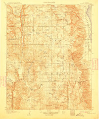
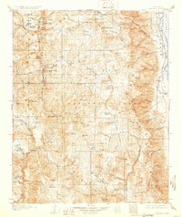
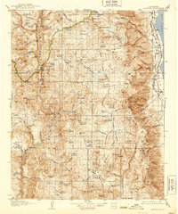
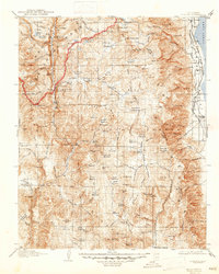
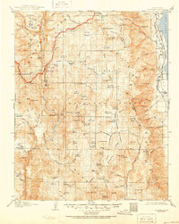
The Sierra Forest Reserve dominates this high-altitude landscape as it was mapped in 1905, showing a terrain defined by glacial basins, massive peaks, and high mountain meadows. The small settlements of Olancha and Carthage are positioned on the eastern edge near the shoreline of the Owens Lake basin, while the interior is a network of trails connecting remote locations like Funston Camp and Kennedy Meadows.
Find a feature on this map
136 named features on this map. Tap any name to fly to it.
Don’t see what you’re looking for? This feature index may not catch every label — zoom into the map to look around manually.
Map Details
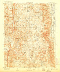
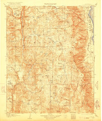
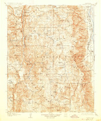
Editions of this 1907 Olancha Map
9 editions found
Other maps of this area

1903 · Tehipite
USGS Topo · 1:125,000

1904 · Kaweah
USGS Topo · 1:125,000

1905 · Tehipite
USGS Topo · 1:125,000

1905 · Olancha
USGS Topo · 1:125,000

1905 · Fairview
USGS Topo · 1:24,000

1906 · Kernville
USGS Topo · 1:125,000

1907 · Mt. Whitney
USGS Topo · 1:125,000

1908 · Kernville
USGS Topo · 1:125,000

1908 · Ballarat
USGS Topo · 1:250,000

1909 · Kaweah
USGS Topo · 1:125,000