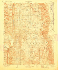
1907 Map of Olancha
USGS Topo · Published 1911About this map
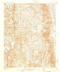
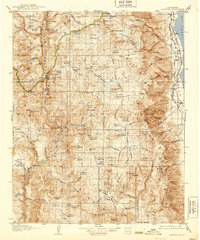
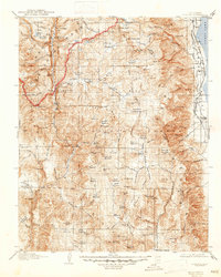
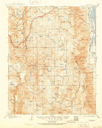
The high Sierra Nevada and the arid edge of the Owens Valley are recorded here during a 1905 survey, showcasing a landscape of extreme elevation changes. Small lakeside settlements like Carthage and Olancha sit at the base of the eastern escarpment, while the interior is dominated by the sprawling headwaters of the South Fork Kern River. The survey highlights a network of meadows and passes essential to early mountain travel, including Cottonwood Pass and Siberian Pass, which provided access to remote alpine basins. Notable landmarks such as The Tunnel and Funston Camp suggest the presence of early forestry or stock-herding activity within the boundaries of the Sequoia National Forest and Inyo National Forest. To the west, the dramatic drop of Chagoopa Falls and the jagged profile of The Needles define the wilderness character of the Great Western Divide. This document preserves the original topography before later diversions significantly altered the hydrology of the eastern basin.
Find a feature on this map
139 named features on this map. Tap any name to fly to it.
Don’t see what you’re looking for? This feature index may not catch every label — zoom into the map to look around manually.
Map Details
Editions of this 1907 Olancha Map
9 editions found
Other maps of this area

1903 · Tehipite
USGS Topo · 1:125,000

1904 · Kaweah
USGS Topo · 1:125,000

1905 · Tehipite
USGS Topo · 1:125,000

1905 · Olancha
USGS Topo · 1:125,000

1905 · Fairview
USGS Topo · 1:24,000

1906 · Kernville
USGS Topo · 1:125,000

1907 · Olancha
USGS Topo · 1:125,000

1907 · Mt. Whitney
USGS Topo · 1:125,000

1908 · Kernville
USGS Topo · 1:125,000

1908 · Ballarat
USGS Topo · 1:250,000