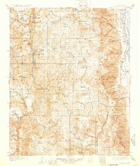
1907 Map of Olancha
USGS Topo · Published 1931About this map
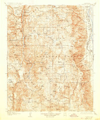
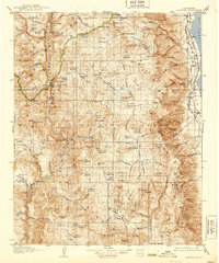
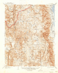
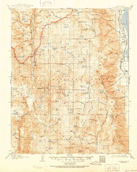
Owens Lake and the eastern edge of the High Sierra are captured here following a 1905 survey, showcasing the early infrastructure of Inyo Co and Tulare Co. Along the eastern shore, the Southern Pacific System railroad connects the small settlements of Cartago and Olancha, serving as a vital link for the region's transport and commerce. To the west, the landscape transforms into the high-altitude wilderness of the Sierra National Forest, where the Kern River carves through the massive Kern River Canyon. This era of the Sierra is defined by a network of meadows and seasonal camps, including Sky Parlor Meadow and Burnt Corral Meadows. The presence of sites like Kern Hot Spring, Jordan Hot Sprs, and the Kern Canyon Ranger Station indicates the early development of the area for both administrative management and nascent mountain tourism before the widespread expansion of modern road systems.
Find a feature on this map
122 named features on this map. Tap any name to fly to it.
Don’t see what you’re looking for? This feature index may not catch every label — zoom into the map to look around manually.
Map Details
Editions of this 1907 Olancha Map
9 editions found
Other maps of this area

1903 · Tehipite
USGS Topo · 1:125,000

1904 · Kaweah
USGS Topo · 1:125,000

1905 · Tehipite
USGS Topo · 1:125,000

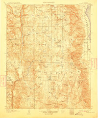
1905 · Olancha
USGS Topo · 1:125,000

1905 · Fairview
USGS Topo · 1:24,000

1906 · Kernville
USGS Topo · 1:125,000

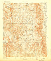
1907 · Olancha
USGS Topo · 1:125,000

1907 · Mt. Whitney
USGS Topo · 1:125,000

1908 · Kernville
USGS Topo · 1:125,000

1908 · Ballarat
USGS Topo · 1:250,000