
1905 Map of Tehipite
USGS Topo · Published 1905About this map
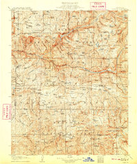
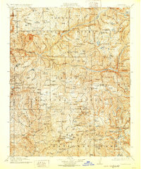
General Grant National Park and Sequoia National Park dominate this high-altitude landscape, captured here during the formative years of the federal park system. The map documents an era when logging and conservation were in direct contact, evidenced by the presence of the Sanger Lumber Co. and timber operations like Abbott Mill and Harts Sawmill near the groves of Big Trees. Human presence is concentrated around small hubs like Millwood and the remote Cedar Grove Hotel along the South Fork King River. The terrain is defined by massive granite features including The Sphinx, Moro Rock, and the Gorge of Despair. Geographers E.M. Douglas and R.B. Marshall recorded the intricate network of glacial lakes, such as Marion Lake and Dollar Lake, alongside the early Giant Forest Road.
Find a feature on this map
46 named features on this map. Tap any name to fly to it.
Don’t see what you’re looking for? This feature index may not catch every label — zoom into the map to look around manually.
Map Details
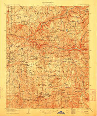
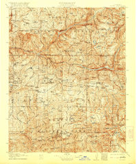
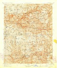
Editions of this 1905 Tehipite Map
8 editions found
Other maps of this area

1903 · Tehipite
USGS Topo · 1:125,000

1904 · Kaiser
USGS Topo · 1:125,000

1904 · Kaweah
USGS Topo · 1:125,000

1905 · Olancha
USGS Topo · 1:125,000

1907 · Olancha
USGS Topo · 1:125,000

1907 · Mt. Whitney
USGS Topo · 1:125,000

1909 · Kaweah
USGS Topo · 1:125,000

1912 · Mt. Goddard
USGS Topo · 1:125,000

1913 · Bishop
USGS Topo · 1:125,000

1919 · Mt. Whitney
USGS Topo · 1:125,000