
1913 Map of Bishop
USGS Topo · Published 1913About this map
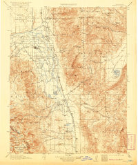
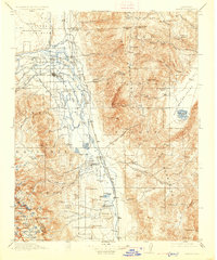
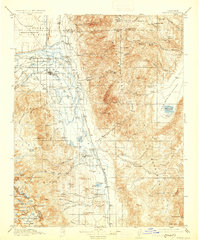
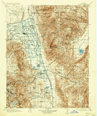
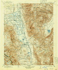
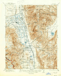
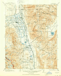
The Owens River valley serves as the central corridor for this early 20th-century landscape, flanked by the massive heights of the White Mountains and the Sierra Nevada. The settlement of Bishop is already established as a local hub, supported by a dense network of educational and industrial infrastructure including Irving School, Warm Spring School, and a Power Station on the creek. The presence of the Southern Pacific Railroad and the Toll Road through the mountains indicates a region transitioning from isolated ranching to a more integrated industrial economy.
Find a feature on this map
105 named features on this map. Tap any name to fly to it.
Don’t see what you’re looking for? This feature index may not catch every label — zoom into the map to look around manually.
Map Details
Editions of this 1913 Bishop Map
8 editions found
Other maps of this area

1898 · Silver Peak
USGS Topo · 1:125,000

1900 · Silver Peak
USGS Topo · 1:125,000

1903 · Tehipite
USGS Topo · 1:125,000

1905 · Tehipite
USGS Topo · 1:125,000

1907 · Mt. Whitney
USGS Topo · 1:125,000

1908 · Lida
USGS Topo · 1:250,000

1908 · Ballarat
USGS Topo · 1:250,000

1912 · Mt. Goddard
USGS Topo · 1:125,000

1913 · Lida
USGS Topo · 1:250,000

1913 · Ballarat
USGS Topo · 1:250,000