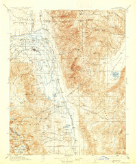
1913 Map of Bishop
USGS Topo · Published 1930About this map
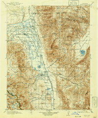
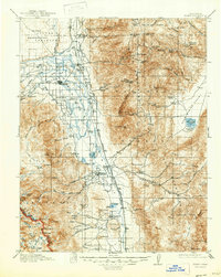
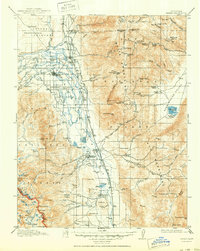
The Owens River valley serves as the central artery for this high-desert landscape, where agricultural settlements like Bishop and Big Pine are defined by a complex network of canals and creeks. At the time of this 1910–1911 survey, the Southern Pacific (Keeler Branch) railroad connected these valley towns to the world, running through Laws and Zurich. The map captures a moment when rural education was highly localized, evidenced by numerous facilities such as Riverside School, Sunland School, and Fish Springs School scattered across the basin.
Find a feature on this map
97 named features on this map. Tap any name to fly to it.
Don’t see what you’re looking for? This feature index may not catch every label — zoom into the map to look around manually.
Map Details
Editions of this 1913 Bishop Map
8 editions found
Other maps of this area

1898 · Silver Peak
USGS Topo · 1:125,000

1900 · Silver Peak
USGS Topo · 1:125,000

1903 · Tehipite
USGS Topo · 1:125,000

1905 · Tehipite
USGS Topo · 1:125,000

1907 · Mt. Whitney
USGS Topo · 1:125,000

1908 · Lida
USGS Topo · 1:250,000

1908 · Ballarat
USGS Topo · 1:250,000

1912 · Mt. Goddard
USGS Topo · 1:125,000

1913 · Bishop
USGS Topo · 1:125,000

1913 · Lida
USGS Topo · 1:250,000