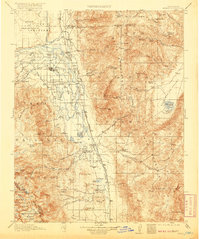
1913 Map of Bishop
USGS Topo · Published 1920About this map
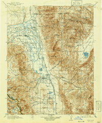
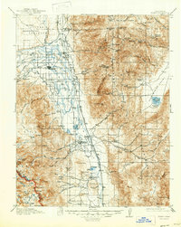
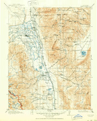
Owens River serves as the central artery of this Owens Valley landscape, flanked by the steep ascent of the White Mountains and the Sierra Nevada peaks. In the early twentieth century, this region was a hub of transit and extraction, dominated by the Southern Pacific Railroad and its Keeler Branch which linked the agricultural valley to distant markets. The settlement of Bishop anchors the irrigation-fed flats, surrounded by a dense network of local landmarks including Sunland School and Riverside School. Beyond the valley floor, the map documents a robust mining economy with the Southern Belle Mine, Poleta Mine, and Montezuma Mine tucked into the high canyons. The presence of the Indian Reservation and vast tracts of the Inyo National Forest illustrate the transition from early ranching at Roberts Ranch to formal federal land management during this era.
Find a feature on this map
145 named features on this map. Tap any name to fly to it.
Don’t see what you’re looking for? This feature index may not catch every label — zoom into the map to look around manually.
Map Details
Editions of this 1913 Bishop Map
8 editions found
Other maps of this area

1898 · Silver Peak
USGS Topo · 1:125,000

1900 · Silver Peak
USGS Topo · 1:125,000

1903 · Tehipite
USGS Topo · 1:125,000

1905 · Tehipite
USGS Topo · 1:125,000

1907 · Mt. Whitney
USGS Topo · 1:125,000

1908 · Lida
USGS Topo · 1:250,000

1908 · Ballarat
USGS Topo · 1:250,000

1912 · Mt. Goddard
USGS Topo · 1:125,000

1913 · Bishop
USGS Topo · 1:125,000

1913 · Lida
USGS Topo · 1:250,000