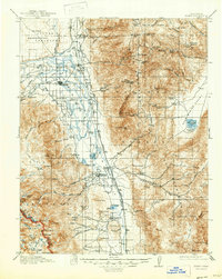
1913 Map of Bishop
USGS Topo · Published 1947About this map
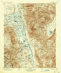
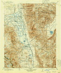
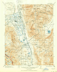
Bishop and its surrounding valley floor are defined by an intricate network of irrigation and water management, visible through the North End Canal, Bishop Creek Canal, and Rawson Canal. This 1913 survey, updated in the late 1940s, illustrates the deep reliance on the Owens River and its tributaries flowing from the Sierra National Forest. The landscape is a study in early twentieth-century Owens Valley infrastructure, where the Southern Pacific (Keeler Branch) railroad connects agricultural hubs like Laws and Big Pine with the high-altitude mining operations in the White Mountains. Significant industrial sites such as the Poleta Mine and Montezuma Mine sit perched above the valley, while a dense concentration of rural education centers, including Sunland School and Riverside School, highlights the established community life in this high-desert corridor.
Find a feature on this map
116 named features on this map. Tap any name to fly to it.
Don’t see what you’re looking for? This feature index may not catch every label — zoom into the map to look around manually.
Map Details
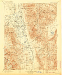
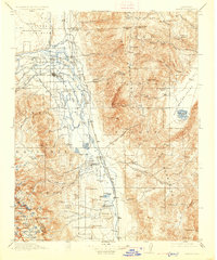
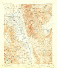
Editions of this 1913 Bishop Map
8 editions found
Other maps of this area

1898 · Silver Peak
USGS Topo · 1:125,000

1900 · Silver Peak
USGS Topo · 1:125,000

1903 · Tehipite
USGS Topo · 1:125,000

1905 · Tehipite
USGS Topo · 1:125,000

1907 · Mt. Whitney
USGS Topo · 1:125,000

1908 · Lida
USGS Topo · 1:250,000

1908 · Ballarat
USGS Topo · 1:250,000

1912 · Mt. Goddard
USGS Topo · 1:125,000

1913 · Bishop
USGS Topo · 1:125,000

1913 · Lida
USGS Topo · 1:250,000