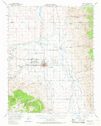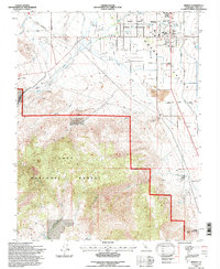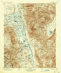
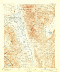
1913 Map of Bishop
USGS Topo · Published 1937About this map
Owens River valley settlements and high-altitude mining operations define this pre-World War I survey of the Eastern Sierra. The agricultural and transport hub of Bishop serves as the central focal point, surrounded by a dense network of early rural education sites like Riverside School, Sunland School, and Fish Springs School. The industrial infrastructure of the era is clearly marked by the Southern Pacific (Keeler Branch) railroad, which tracks along the valley floor to support local commerce and extractive industries such as the Poleta Mine and Southern Belle Mine.
Find a feature on this map
68 named features on this map. Tap any name to fly to it.
Don’t see what you’re looking for? This feature index may not catch every label — zoom into the map to look around manually.
Map Details
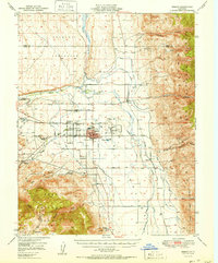
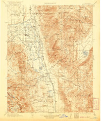
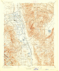
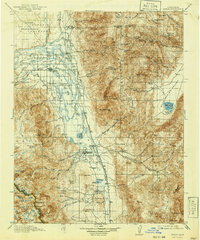
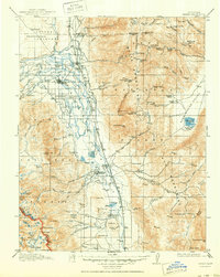
Editions of this 1913 Bishop Map
8 editions found

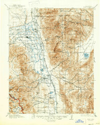
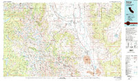
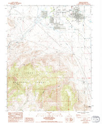
Historical Maps of Bishop Through Time
10 maps found