
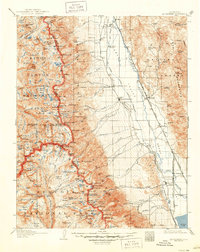
1907 Map of Mt. Whitney
USGS Topo · Published 1907About this map
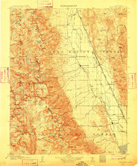
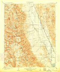
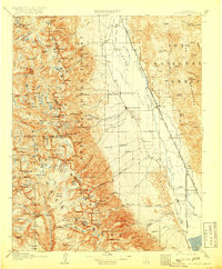
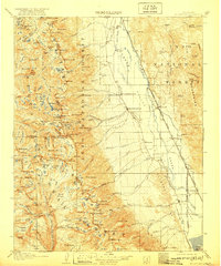
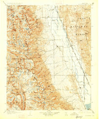
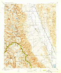
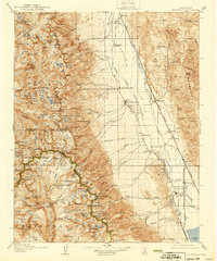
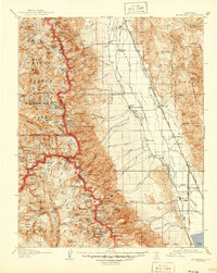
Independence and Lone Pine anchor the eastern base of the Sierra Nevada in this early century survey of the Owens Valley. The landscape is defined by the sharp transition from the valley floor, where the Southern Pacific System rail line connects settlements like Owenyo and Thebe, to the high peaks of the Sierra Forest Reserve. The map records a time of significant infrastructure and early mining, such as the Bluebell Mine, and traces historic paths through Kearsarge Pass and Sawmill Pass. To the west, the rugged high country is a maze of glacial basins and named summits, including University Peak and Mt Baxter. Notable for local historians is the site of Old Camp Independence, located north of the modern townsite, and the intricate drainage network of Taboose Creek and Goodale Creek feeding the valley floor.
Find a feature on this map
174 named features on this map. Tap any name to fly to it.
Don’t see what you’re looking for? This feature index may not catch every label — zoom into the map to look around manually.
Map Details
Editions of this 1907 Mt. Whitney Map
10 editions found
Other maps of this area

1903 · Tehipite
USGS Topo · 1:125,000

1904 · Kaweah
USGS Topo · 1:125,000

1905 · Tehipite
USGS Topo · 1:125,000

1905 · Olancha
USGS Topo · 1:125,000

1907 · Olancha
USGS Topo · 1:125,000

1908 · Lida
USGS Topo · 1:250,000

1908 · Ballarat
USGS Topo · 1:250,000

1909 · Kaweah
USGS Topo · 1:125,000

1912 · Mt. Goddard
USGS Topo · 1:125,000

1913 · Bishop
USGS Topo · 1:125,000