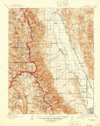
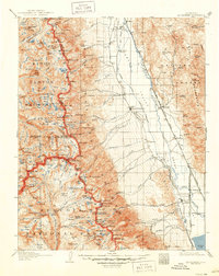
1907 Map of Mt. Whitney
USGS Topo · Published 1946About this map
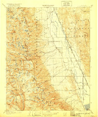
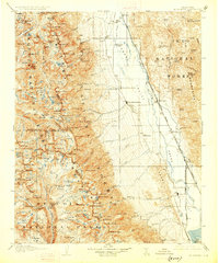
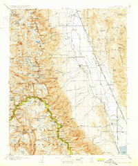
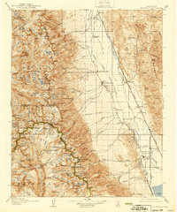
Independence and Lone Pine anchor the Owens Valley in this survey of the High Sierra, where the desert floor meets the sheer eastern face of the Sierra Nevada. The map captures a landscape defined by the Southern Pacific System and its unique Narrow Gage line running through Owenyo. In the valley, historic sites like Old Camp Independence and Manzanar appear alongside a civilian Landing Field, reflecting the area's early 20th-century development. West of the valley, the terrain rises sharply into Sequoia National Park and Kings Canyon National Park, centered on Mt Whitney and the Mt Whitney Trail. This survey illustrates the intricate drainage system of the eastern slope, where Lone Pine Creek and Independence Creek flow toward the valley, and identifies geological features such as the Earthquake Fault running along the mountain base.
Find a feature on this map
190 named features on this map. Tap any name to fly to it.
Don’t see what you’re looking for? This feature index may not catch every label — zoom into the map to look around manually.
Map Details
Editions of this 1907 Mt. Whitney Map
10 editions found
Other maps of this area

1903 · Tehipite
USGS Topo · 1:125,000

1904 · Kaweah
USGS Topo · 1:125,000

1905 · Tehipite
USGS Topo · 1:125,000

1905 · Olancha
USGS Topo · 1:125,000

1907 · Olancha
USGS Topo · 1:125,000

1907 · Mt. Whitney
USGS Topo · 1:125,000

1908 · Lida
USGS Topo · 1:250,000

1908 · Ballarat
USGS Topo · 1:250,000

1909 · Kaweah
USGS Topo · 1:125,000

1912 · Mt. Goddard
USGS Topo · 1:125,000