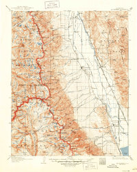
1907 Map of Mt. Whitney
USGS Topo · Published 1950About this map
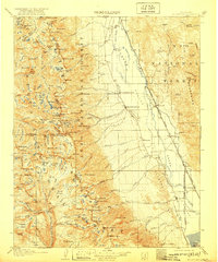
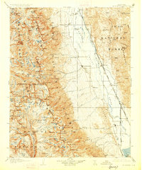
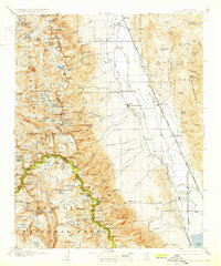
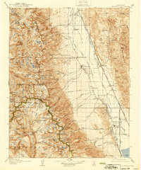
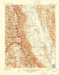
Independence and the military site of Old Camp Independence anchor the valley floor in this early twentieth-century survey. The landscape is defined by the stark transition from the Owens River basin to the high peaks of Kings Canyon National Park and Sequoia National Park. Industrial and transportation interests of the era are evident in the Southern Pacific Railroad and its Narrow Gage branch, which served the agricultural hub of Manzanar and the rail junction at Owenyo. High-altitude routes like Kearsarge Pass and Taboose Pass provided vital access through the Sierra Nevada range for early travelers and prospectors. Geologic activity is documented by a prominent Earthquake Fault running parallel to the railroad, while the local economy is represented by the Bluebell Mine and the Reward settlement, illustrating the diverse mineral and transit-based history of the Inyo region.
Find a feature on this map
160 named features on this map. Tap any name to fly to it.
Don’t see what you’re looking for? This feature index may not catch every label — zoom into the map to look around manually.
Map Details
Editions of this 1907 Mt. Whitney Map
10 editions found
Other maps of this area

1903 · Tehipite
USGS Topo · 1:125,000

1904 · Kaweah
USGS Topo · 1:125,000

1905 · Tehipite
USGS Topo · 1:125,000

1905 · Olancha
USGS Topo · 1:125,000

1907 · Olancha
USGS Topo · 1:125,000

1907 · Mt. Whitney
USGS Topo · 1:125,000

1908 · Lida
USGS Topo · 1:250,000

1908 · Ballarat
USGS Topo · 1:250,000

1909 · Kaweah
USGS Topo · 1:125,000

1912 · Mt. Goddard
USGS Topo · 1:125,000