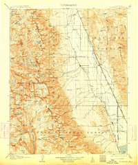
1907 Map of Mt. Whitney
USGS Topo · Published 1913About this map
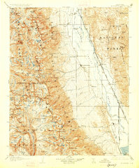
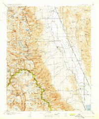
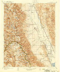
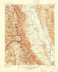
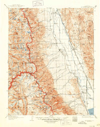
The Owens Valley corridor and the towering Sierra Nevada crest dominate this 1905 survey, capturing the region before large-scale water diversion projects transformed the landscape. The county seat of Independence serves as the primary hub along the Southern Pacific System, while the smaller settlement of Lone Pine sits at the base of the mountains near the Mojave-Owenyo Br. This era represents a period of significant geological and transit interest, clearly marking the Earthquake Fault running through the valley floor and the historic site of Old Camp Independence north of the main town. To the west, the map details the high-altitude wilderness, documenting the numerous lakes and peaks of the Sierra National Forest and the upper reaches of the South Fork Kings River. Mining activity is represented by the Bluebell Mine, positioned in the Inyo Mountains to the east.
Find a feature on this map
165 named features on this map. Tap any name to fly to it.
Don’t see what you’re looking for? This feature index may not catch every label — zoom into the map to look around manually.
Map Details
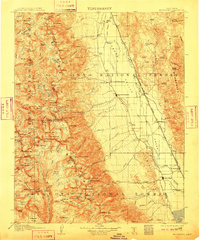
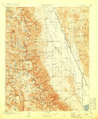
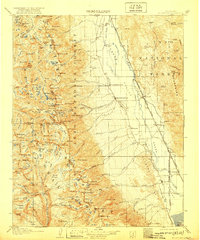
Editions of this 1907 Mt. Whitney Map
10 editions found
Other maps of this area

1903 · Tehipite
USGS Topo · 1:125,000

1904 · Kaweah
USGS Topo · 1:125,000

1905 · Tehipite
USGS Topo · 1:125,000

1905 · Olancha
USGS Topo · 1:125,000

1907 · Olancha
USGS Topo · 1:125,000

1907 · Mt. Whitney
USGS Topo · 1:125,000

1908 · Lida
USGS Topo · 1:250,000

1908 · Ballarat
USGS Topo · 1:250,000

1909 · Kaweah
USGS Topo · 1:125,000

1912 · Mt. Goddard
USGS Topo · 1:125,000