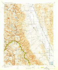
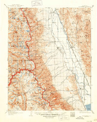
1907 Map of Mt. Whitney
USGS Topo · Published 1933About this map
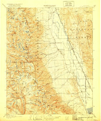
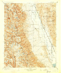
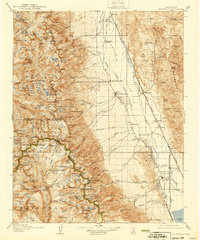
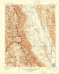
The massive high-altitude divide of the Sierra Nevada mountains separates the fertile Owens Valley from the headwaters of the Kings and Kern rivers in this topographic study. The landscape is dominated by the granite peaks of Sequoia National Park and the Sierra Nat For, including the towering Mt Whitney and Mt Muir. In the valley below, the Southern Pacific System railroad links early settlements like Lone Pine and Independence, which serves as a gateway to the steep eastern escarpment.
Find a feature on this map
157 named features on this map. Tap any name to fly to it.
Don’t see what you’re looking for? This feature index may not catch every label — zoom into the map to look around manually.
Map Details
Editions of this 1907 Mt. Whitney Map
10 editions found
Other maps of this area

1903 · Tehipite
USGS Topo · 1:125,000

1904 · Kaweah
USGS Topo · 1:125,000

1905 · Tehipite
USGS Topo · 1:125,000

1905 · Olancha
USGS Topo · 1:125,000

1907 · Olancha
USGS Topo · 1:125,000

1907 · Mt. Whitney
USGS Topo · 1:125,000

1908 · Lida
USGS Topo · 1:250,000

1908 · Ballarat
USGS Topo · 1:250,000

1909 · Kaweah
USGS Topo · 1:125,000

1912 · Mt. Goddard
USGS Topo · 1:125,000